Search This Blog

Thursday, December 8, 2016

Customs House - 31 Alfred Street - Circular Quay - Sydney Cove - New South Wales


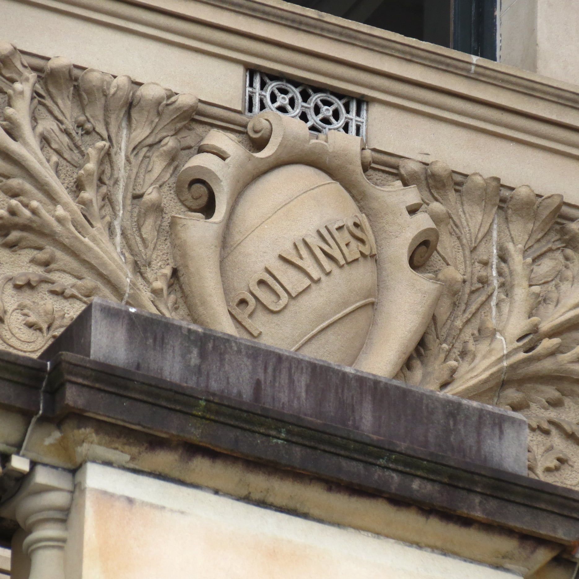
Customs House 


Built - 1844 - 1845
Architect - Mortimer Lewis - Colonial Architect 
Additional Architects - 
1887 - James Barnet - Colonial Architect 
1896 - Walter Liberty Vernon - Government Architect
1915  - George Oakeshott

Sydney's Custom House At Circular Quay Occupies A Unique Symbolic Place On The Site Of The Foirst Fleet Landing In 1788. Today Its Location Is A Physical Reminder Of The Importance Of Circular Quay As The Original Maritime Centre Of The Colony, And The Colony's reliance On Trade. Its Renewal Over The Decades Also Emobides The Work Of Three Government Architects

The Customs Service ws Responsible For All Imports And Exports, Excise On Local Goods, Immigration Control, And Control Of Narcotic Substances And Morally Corrupt Goods (Such As Books And Films)
By 1844, With Sydney's Maritime Trade Booming, The Existing Customs Building In The Rocks Was Packed To The Rafters. This Prompted Governor Sir George Gipps To Commission A New 2 Storey Georgian Building, Designed By Colonial Architect Mortimer Lewis, With A Facade That Included 13 Large Windows Offering Commanding Views of Shipping Activity In Sydney Cove. 


In 1887, The Building Was Partly Dismantled And Expanded To Three Levels By Colonial Architect James Barnet. It was Further Expanded In 1896 By Government Architect Walter Liberty Vernon, Who Staged Alterations Adding Two New Levels And A Rear Wing In The Courtyard. In 1915, Architect George Oakeshott Add A New Framed Internal Structure That Opened Up The Ground Floor With An Atrium. 

Despite These Later Additions During World War 1, Significant Parts Of The Original Building Remain Today, Having Been In Continuous Use For 145 Years As Headquarters For The Customs House Right Up Until 1990. in 2003 The Historic Building Became The Venue For The City Of Sydney Library, Along With restaurants, Bars And Offices. 

There Is A Scale Model Of Sydney's CBD, Under A Glass Floor In The Ground Floor Foyer. At A Scale Of 1:500, It Covers Around 10 Square Kilometres Of The City And Includes More Than 1000 Detailed Buildings, As Well As 5000 Trees, And People, And Cars And Boats 


The 6 Storey Building Evolved  through Several Phases Of Expansion  Between 1845 & 1917. 

On Loftus Street Alongside Customs House, A Union Jack Flies Permanantly On The Site Where The British Flag Was First Raised On January 26th 1788. For Some Australians, This Is The Site Of The Invasion. 


Customs House in Sydney, Australia, is an iconic heritage building that has played a significant role in the city's history. It has served various functions over the years and stands as a symbol of maritime trade, cultural engagement, and architectural beauty. Here's a comprehensive overview of its history:

Early History:

  • The original Customs House on the site was constructed in the early 19th century. It served as a customs and maritime office to regulate trade and collect taxes on imports and exports.

Construction of the Current Building:

  • The present-day Customs House building was constructed between 1844 and 1845, designed by colonial architect Mortimer Lewis in the Neoclassical architectural style.
  • The building's design features grand columns, a pediment, and ornate detailing, reflecting the architectural trends of the time.

Function as Customs Office:

  • The new Customs House continued to serve as a hub for customs and maritime operations, facilitating trade and overseeing shipping activities in Sydney Harbour.

Expansions and Additions:

  • Over the years, Customs House underwent expansions and additions to accommodate its growing functions and staff.
  • In the late 19th century, additional wings were added to the building to accommodate increased maritime activity.

Cultural Role and Transformation:

  • In the 20th century, as shipping and customs operations moved to other locations, Customs House underwent a transformation into a cultural and public space.
  • In 1988, the building was renovated and repurposed as a multi-purpose cultural and educational center.

City of Sydney Library:

  • Customs House houses the City of Sydney Library, offering a range of books, resources, and services to the public.
  • The library features modern amenities while preserving the building's historical features.

The Sydney Room:

  • The Sydney Room within Customs House holds a collection of historical maps, plans, photographs, and documents related to the city's history.

Civic and Cultural Events:

  • Customs House is also used as a venue for various civic and cultural events, exhibitions, and lectures.

Lighting of the Dome:

  • The dome of Customs House is often lit up with colorful and dynamic light displays to mark special occasions, events, and celebrations.

Heritage Status:

  • Customs House is recognized as a heritage-listed building, reflecting its historical, architectural, and cultural significance.

Customs House stands as a reminder of Sydney's maritime heritage and its transition from a functional government building to a dynamic cultural center. Its architectural beauty, versatile functions, and central location have made it a focal point of Sydney's urban landscape and cultural life


Wednesday, December 7, 2016

St Matthew’s Church, Windsor – Francis Greenway

St Matthew’s Anglican Church on Moses Street, Windsor, is one of Francis Greenway’s finest surviving works — spare Georgian brick, a clean tower, and that quiet authority you only get when a colonial building has been loved carefully for two centuries. Governor Lachlan Macquarie ordered a church for the Hawkesbury township he renamed Windsor in 1810. Greenway’s church rose between 1817 and 1822; the Reverend Samuel Marsden consecrated it on 8 December 1822. Macquarie had to re-lay the foundation stone after the first ceremonial coin was stolen overnight — a story locals still tell with a half-smile.

Convict labour built the church under colonial direction; William Cox is associated with related precinct works. The adjoining rectory and stables (mid-1820s) complete a landmark group above the Hawkesbury floodplain — Heritage NSW lists church, rectory, stables and cemetery together. The south porch, shown on early plans, was added later (1857). The graveyard holds burials connected with early Hawkesbury families and, by local tradition, some First Fleet associations.

Greenway’s massing remains remarkably intact and is often cited among the most beautiful early colonial buildings in the country. The photographs here show the church, precinct and floodplain setting that still make Windsor worth the drive.

St Matthew’s Church, Windsor — historic view of the Georgian brick church.
Macquarie-era account of the foundation-stone ceremony and Greenway’s church design.


Church foundation-stone account, recorded in an early historical source.
Consecration of St Matthew’s Church by the Reverend Samuel Marsden, 8 December 1822.
Storm damage and later history of the Windsor church precinct.
Historical notes on Windsor, St Matthew’s Church and its early community.


Government House – “The People’s Domain”

From the Royal Botanic Garden lawns the house looks like a toy castle that got out of hand — turrets, battlements, harbour light on Pyrmont sandstone. This is Government House, Sydney, in the Domain at Conservatorium Road, still the official residence of the Governor of New South Wales. Edward Blore drew it in London; Mortimer Lewis and Colonel George Barney got it up in local stone. Governor Sir George Gipps moved in in 1845. Finishing works dribble through the mid-1840s depending on which file you read — occupied 1845 is the date that matters.

It replaced First Government House on Bridge Street (now the Museum of Sydney site) — a different building, a different post. Admiralty House at Kirribilli is another house again. Francis Greenway’s Government House stables, now the Conservatorium, already sat on the axis; Blore’s castle continued the Gothic joke. James Barnet later added the porte-cochère and eastern colonnade; Walter Liberty Vernon recased the façades in Pyrmont sandstone around the turn of the century.

“The People’s Domain” is a nice walking title for photographs taken from the Garden, but the Domain was laid out as vice-regal home paddock. You are looking through a public botanic garden at a working residence.


George Street Looking South and the Royal Hotel

Stand mid-town and look south along George Street — Sydney’s main north–south spine — and you’re walking the Tank Stream valley that Macquarie formally named George Street in 1810 (High Street / Spring Row labels before that). Nineteenth-century looking-south plates show a tight commercial wall: hotels, arcades, shopfronts — the street that sold the colony its boots, books and theatre tickets.

On the eastern side between King and Market sat the Royal Hotel, opened 1829 for Barnett Levey, with an attached theatre that from 1832 staged Sydney’s first regular professional performances. Fire took the complex in 1840; it was rebuilt and stayed a George Street fixture until mid-1920s–early-1930s demolition for the Dymocks Building (The Block) — bookselling had already occupied part of the hotel from 1890. So those “looking south” views aren’t just street furniture: they catch a vanished hotel–theatre at the heart of colonial entertainment and retail.

Don’t confuse this Royal with every other Sydney pub of the same name. Caption by direction and building identity — never label today’s Block as the 1829 hotel.


The Charlotte Medallion


From Memory The Charlotte Medallion Came Yo For Auction After 220 Years Around 2014/2o15


Th Australian Government Purchased The Coin For Approx $750,000 - $800,000


The Significance Of The Charlotte Medallion Is That It Was Etched By A Convict, I Forget His Name 2 Days Agter The First Fleet Landed At Sydney Cove In 1788. 

Unfortunately He Was Also the First Convict To Be Hung For Stealjng A Pork Ration And Some Peas. About 2 Weeks After The Fleet Landed 


Arthur Phillip Had Warned Everybody On The 7th Of January 1788 When His Commission From King George III Was Read to All Convicts And Military On The Beach At What Is Now Circular. Quay 


Vaucluse from North Head

From North Head the eastern shore reads as a single headland until you know the names: Vaucluse in the closed valley, Watsons Bay beyond, South Head holding the Hornby light. The suburb takes its name from Vaucluse House. Irish convict-knight Henry Browne Hayes bought the land in 1803, named it for Petrarch’s Fontaine-de-Vaucluse, and had a stone cottage going by 1805. William Charles and Sarah Wentworth bought the estate in 1827 and turned that cottage into the Gothic pile the house museum still shows. Australia’s first publicly owned house museum opened here from 1911.

The view is from North Head, looking across the Heads, not a North Head biography. This is Cadigal and Birrabirragal country. Don’t turn six harbour snaps into a second Gap essay or a full Wentworth life. Rose Bay sits to the south of the peninsula; from North Head you are looking at the harbour entrance’s southern shore, and the house in the valley is the reason the suburb is called what it is.


The Gap – South Head – Old South Head Road

Stand at The Gap and the ocean is suddenly right there — no harbour, no ferry, just Tasman swell chewing sandstone. This is the seaward cliff on Sydney’s South Head, near Watsons Bay, reached from Old South Head Road. The headland has long been a coastal landmark for ships approaching Port Jackson — and a place of tragedy when vessels mistook the cliff line for the harbour entrance in bad weather.

On the night of 20 August 1857 the clipper Dunbar, inward-bound from England, was wrecked on the rocks south of the Heads near The Gap. One hundred and twenty-one passengers and crew died; the sole survivor was seaman James Johnson, found clinging to the cliff days later. The disaster stunned colonial Sydney: a huge funeral procession moved through the city, and the wreck helped spur construction of Hornby Lighthouse at the tip of South Head to mark the true harbour entrance. An anchor memorial at The Gap (established 1930 from Dunbar material recovered in 1910) and a historic rock inscription form part of the State Heritage-listed Dunbar Group, together with the underwater wreck remains.

Treat “It is Our Painful Duty” as a period quotation or image caption if that is what the photograph shows — not as unexplained body text.


The Gap - South Head - New South Wales 


It is Our Painful Duty
The Gap is a dramatic sandstone cliff on Sydney’s South Head, overlooking the Tasman Sea. It has long been a prominent landmark for vessels approaching Port Jackson and is remembered for the many lives lost along the exposed coastline. 


Sydney Harbour from Watsons Bay

The harbour view from Watsons Bay is the one on the postcards North Head opposite, Tasman out the Heads — but the place-name is a working one. Robert Watson (c.1756–1819), quartermaster of HMS Sirius in the First Fleet, later dockyard boatswain, pilot and harbour master, is the Watson in the bay. Governor Philip Gidley King granted him land at South Head in 1801; after the South Head Road opened, Governor Macquarie visited his stone house in April 1811, appointed him senior pilot (harbour master followed), and the Sydney Gazette was already calling the locality Watson’s Bay.

Watson was dismissed from dockyard posts in 1816 after a misconduct case, then appointed first superintendent of the new Macquarie Light at South Head in November 1818. He died the next year. A commemorative seat in Robertson Park (1929) summarises the career — useful locally, though some inscription details are simplified. The suburb later became famous for cliff walks at The Gap, pilot and signal stations, HMAS Watson, and the ferry from Circular Quay. Harbour panoramas “from Watsons Bay” sit in that longer story of navigation, wreck prevention and waterside settlement at the Heads.

Watsons Bay sits inside South Head at the entrance to Port Jackson, looking across to North Head and the open Tasman. The bay takes its name from Robert Watson (c.1756–1819), quartermaster of HMS Sirius in the First Fleet, later dockyard boatswain, pilot and harbour master. Governor Philip Gidley King granted him land at South Head in 1801; after the South Head Road opened, Governor Lachlan Macquarie visited Watson’s stone house in April 1811, appointed him senior pilot (and later harbour master), and the locality was already being called Watson’s Bay in the Sydney Gazette.

Watson was dismissed from dockyard posts in 1816 after a misconduct case, then appointed first superintendent of the new Macquarie Light at South Head in November 1818; he died in 1819. A commemorative seat in Robertson Park (1929) summarises his career — useful locally, though some inscription details are simplified. The suburb later became famous for cliff walks at The Gap, pilot and signal stations, HMAS Watson, and ferry access from Circular Quay. Harbour panoramas from Watsons Bay therefore sit in a long story of navigation, wreck prevention and waterside settlement at the Heads.

Watsons Bay takes its name from Robert Watson, a pilot and harbour master associated with Sydney Harbour in the early colonial period. Governor Lachlan Macquarie visited the bay in 1811 and later appointed Watson senior pilot of the port. The suburb looks across the entrance to Sydney Harbour and its headlands.


Newcastle from the Nobbys

Drive or ferry up the coast and the silhouette that says “Newcastle” is Nobbys Head — dual-named Whibayganba for the Awabakal people — the distinctive rock at the southern entrance to the harbour. Europeans first knew it as an island (also Coal Island). Governor Lachlan Macquarie laid the foundation stone for Macquarie Pier on 5 August 1818 to tie it to the mainland and tidy the entrance; convict and later free labour worked the pier for decades. It was completed in 1846 and later rebuilt as a stone breakwater. Sand piled along the wall, made an isthmus and Nobbys Beach — so the former island now reads as continuous headland.

In the 1850s the crown was lowered for a lighthouse and signal station platform. Nobbys Head Light (under colonial Government Architect Alexander Dawson) was finished 1857–58 — among the earliest permanent lights on the NSW coast after Macquarie Light at South Head. The lighthouse sits in Newcastle’s civic imagery and coat of arms. Views “from the Nobbys” look across the working coal port that grew from a penal outpost into one of Australia’s great harbour cities.


Fitzroy Bridge Windsor

Drive out to Windsor and the concrete high-level span over South Creek looks like any modern creek crossing — until you realise this is about the fifth go at getting people from McGraths Hill into town without swimming. European settlers needed a reliable crossing here from the earliest Hawkesbury farms. Andrew Thompson built a floating bridge about 1802 and collected tolls; John Howe’s log bridge (Howe’s Bridge) followed about 1813. A wooden arch named for Governor Sir Charles FitzRoy replaced earlier structures in the mid-nineteenth century — local histories commonly date that span to 1848.

Then came iron. D. & W. Robertson supplied the ironwork and G. H. Royce is associated with construction of the 1879–1881 Fitzroy Bridge, opened to traffic in early March 1881. The present reinforced-concrete high-level bridge is mid-1970s (opened 1974/1975 in Hawkesbury accounts). Tucked beside the crossing is the 1835 Toll House — one of only two intact toll houses left in New South Wales — rebuilt after the 1864 flood and restored externally in the 1990s.

Historic photographs here likely show an earlier Fitzroy span (timber or iron), not the modern concrete bridge. Caption by era if the date is known; otherwise say “historic view.”


Fitzroy Bridge crosses South Creek at Windsor in the Hawkesbury district of New South Wales. The bridge was built in the nineteenth century for the Windsor Road Trust, improving a vital route between Windsor and surrounding settlements. Its history reflects the engineering and transport needs of the early colonial road network.