Macquarie Place – Bridge Street – Sydney
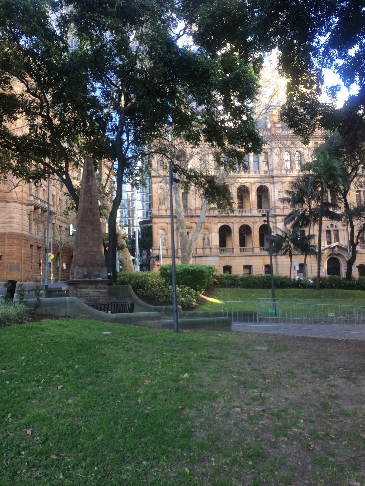
Macquarie Place is that small triangular park at Bridge and Loftus Streets — Tank Stream side of early Sydney Cove — and it still feels like the colony’s front lawn. Governor Lachlan Macquarie regularised it as a civic square; in 1818 Francis Greenway’s sandstone Obelisk of Distances went up as the official zero point for public roads. The inscriptions still give mileages to Parramatta, Windsor, Liverpool, Bathurst, Macquarie Tower at South Head and the north head of Botany Bay. Circular Quay reclamation and street extensions later nibbled the reserve; the old Macquarie Place roadway was folded into the park in the later twentieth century.
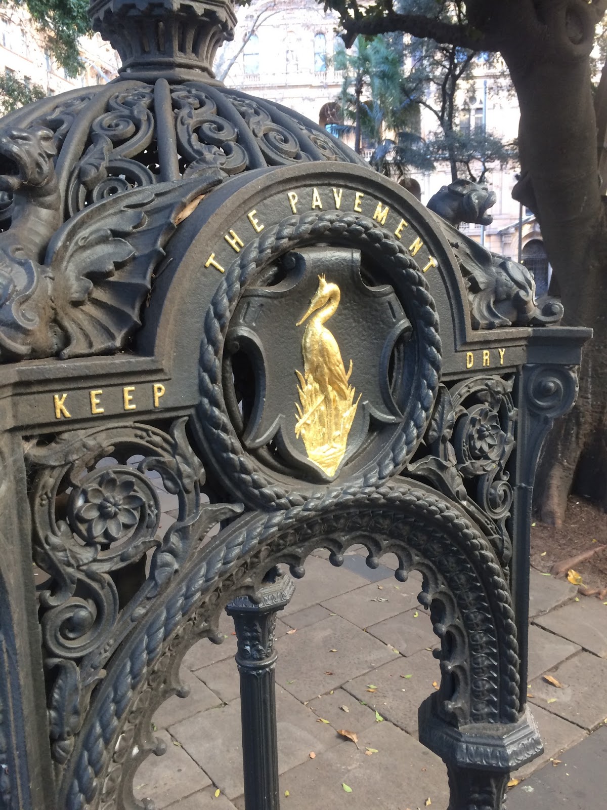
The State Heritage precinct also holds the anchor and a cannon associated with HMS Sirius, flagship of the First Fleet (anchor salvaged from the 1790 Norfolk Island wreck and placed here in the early 1900s; the cannon had earlier signal use at South Head). A bronze of merchant and industrialist Thomas Sutcliffe Mort by Pierce Francis Connelly (1883) stands where Greenway’s Doric public fountain (c.1819–20) once stood — the fountain was demolished to make way for the monument. Other fabric includes 1869 Renny mayoral gate posts, an 1857 cast-iron drinking fountain, traces of a former underground convenience, and plane trees planted in 1954 at the start of the Remembrance Driveway to Canberra.
Originally swampy mangrove land on the banks of the Tank Stream, this triangular morsel of land is awash with historic relics.
The obelisk records distances in miles by road to important places in the colony and beyond.
The sandstone monument was designed by Francis Greenway, who was sent to the colony for forgery and became Sydney's first Colonial Architect.
Along one side of the park are the cannon and the bower anchor of HMS Sirius, flagship of the First Fleet, which arrived in Sydney in 1788.
The imposing statue of the 19th-century industrialist Thomas Sutcliffe Mort looks over Bridge Street.
The Roads Obelisk – From My Earlier Post
In September 1816 the contract was signed to erect a very handsome stone obelisk in the centre of Macquarie Place, as an ornament to this part of town and also for the purpose of measuring the miles from all the interior parts of the colony — to the cost of eighty-five pounds sterling.
On the stone we read:
This Obelisk was Erected In Macquarie Place A.D. 1818,
To Record That All The Public Roads
Leading To The Interior of The Colony
Are Measured From It
L. Macquarie, Esq, Governor
Then came Macquarie the visionary. On 6 October 1810 he proclaimed a town plan, saying of Macquarie Place that it being intended to remove all those old buildings and enclosures then on that ground — bounded by the government domain on the east, by the Judge Advocate, secretary, chaplains and Commissary houses on the south, by the spring of water and stream on the west, and by the houses of Mr Lord, Mr Thompson and Mr Reiby on the north — and to throw the same into an open area, the said area has been named Macquarie Place, and it is henceforth to be so nominated.
Sources
- NSW State Heritage Register, Macquarie Place Precinct
- Garry Wotherspoon and others, 'Macquarie Place', Dictionary of Sydney – https://dictionaryofsydney.org/entry/macquarie_place
- Casey & Lowe, Conservation issues – The Obelisk, Macquarie Place, Sydney – https://www.caseyandlowe.com.au/wp-content/uploads/2003/02/MacquariePlaceReportFinal.pdf (contract September 1816, £85; completed 1818)
- Lachlan Macquarie journals / Macquarie Archive, September 1816 – https://www.mq.edu.au/macquarie-archive/lema/1816/1816sept.html
- My earlier post 'The Roads Obelisk – Macquarie Place' (2015), now combined into this one