Macquarie Place - Bridge Street - Sydney - NSW
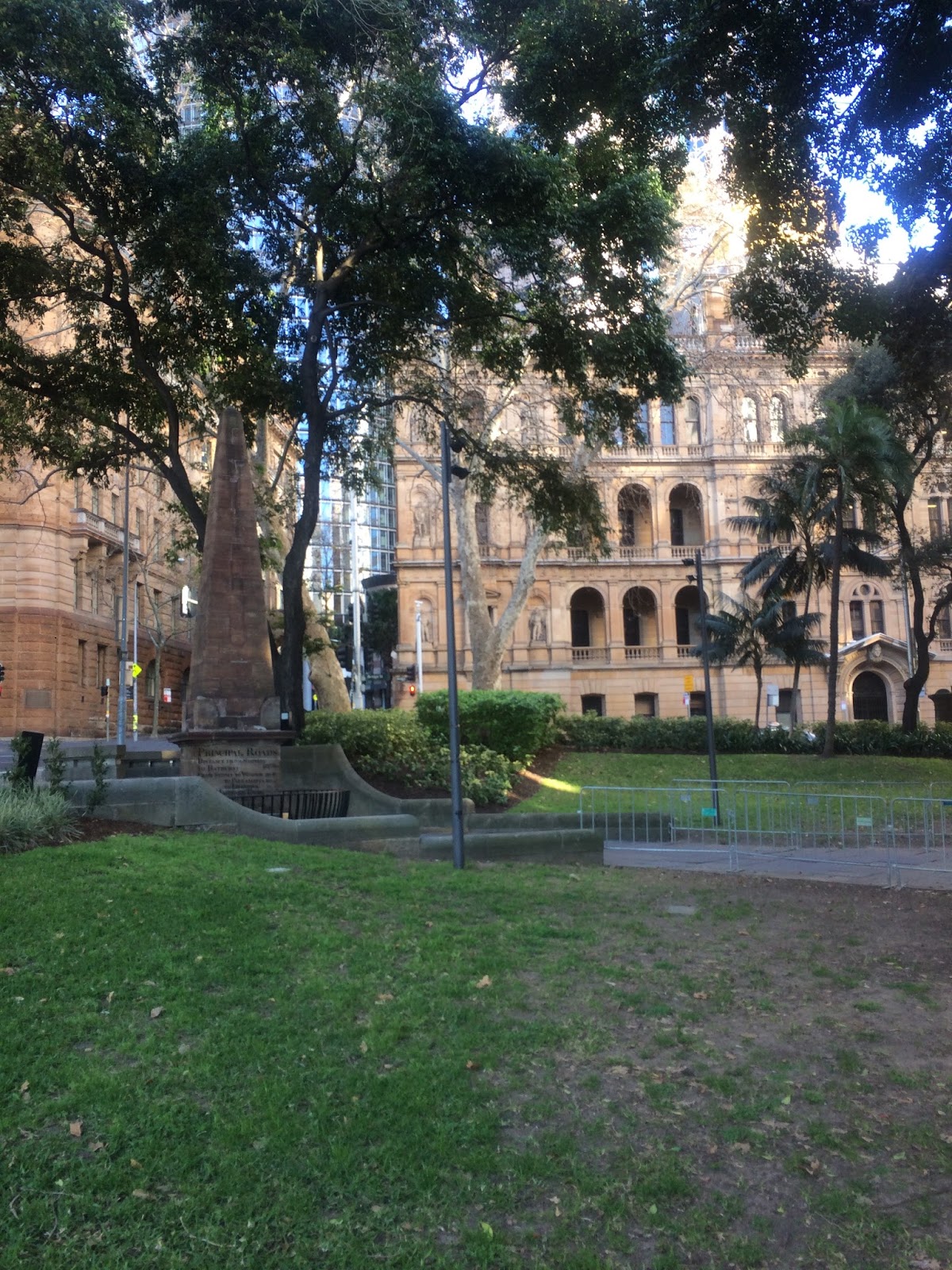
Macquarie Place is that small triangular park at Bridge and Loftus Streets — Tank Stream side of early Sydney Cove — and it still feels like the colony’s front lawn. Governor Lachlan Macquarie regularised it as a civic square; in 1818 Francis Greenway’s sandstone Obelisk of Distances went up as the official zero point for public roads. The inscriptions still give mileages to Parramatta, Windsor, Liverpool, Bathurst, Macquarie Tower at South Head and the north head of Botany Bay. Circular Quay reclamation and street extensions later nibbled the reserve; the old Macquarie Place roadway was folded into the park in the later twentieth century.
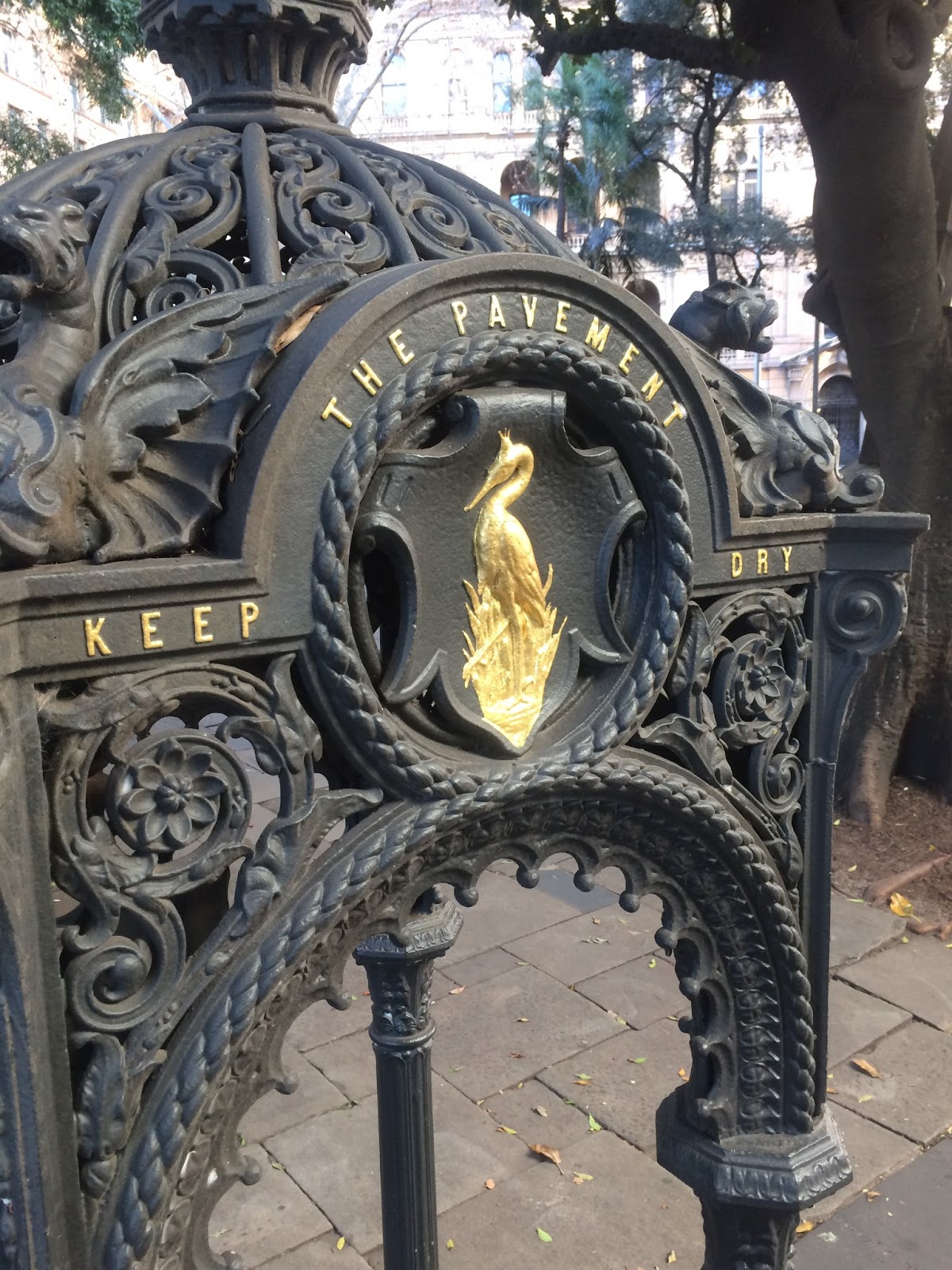
The State Heritage precinct also holds the anchor and a cannon associated with HMS Sirius, flagship of the First Fleet (anchor salvaged from the 1790 Norfolk Island wreck and placed here in the early 1900s; the cannon had earlier signal use at South Head). A bronze of merchant and industrialist Thomas Sutcliffe Mort by Pierce Francis Connelly (1883) stands where Greenway’s Doric public fountain (c.1819–20) once stood — the fountain was demolished to make way for the monument. Other fabric includes 1869 Renny mayoral gate posts, an 1857 cast-iron drinking fountain, traces of a former underground convenience, and plane trees planted in 1954 at the start of the Remembrance Driveway to Canberra.
Images here survey the obelisk, Sirius relics, Mort statue and everyday park use in the CBD.






 Originally swampy mangrove land