Search This Blog

Friday, May 22, 2015

Sydney Royal Botanic Garden

The Royal Botanic Garden Sydney occupies the eastern shore of Sydney Cove’s neighbour, Farm Cove, on Gadigal land within the Governor’s Domain. In 1788 this ground held the colony’s first government farm; poor soils quickly shifted food production toward Parramatta, but the cove stayed part of the Domain landscape shaped under Governors Bligh and Macquarie.

The Gardens’ traditional foundation date is 13 June 1816, when Mrs Macquarie’s Road around the Domain was completed and Macquarie’s enclosure began to function as a botanic garden. Soldier-gardener Charles Fraser (Frazer) became superintendent from 1816 and Colonial Botanist from 1821, turning kitchen-garden plantings into a scientific collecting garden linked to Kew and global exchange. Later directors — notably Charles Moore and Joseph Maiden — expanded collections, built the Farm Cove seawalls and reclamations, and cemented the institution’s public role. It is Australia’s oldest botanic garden and among the nation’s oldest continuously operating scientific institutions; the “Royal” title was granted in 1959.

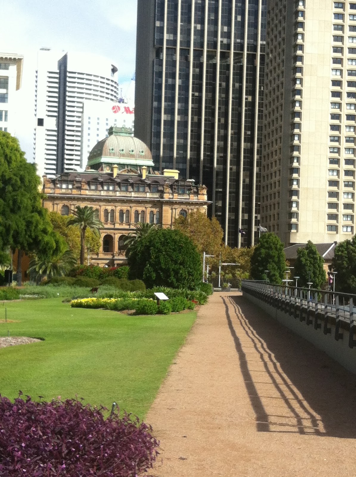
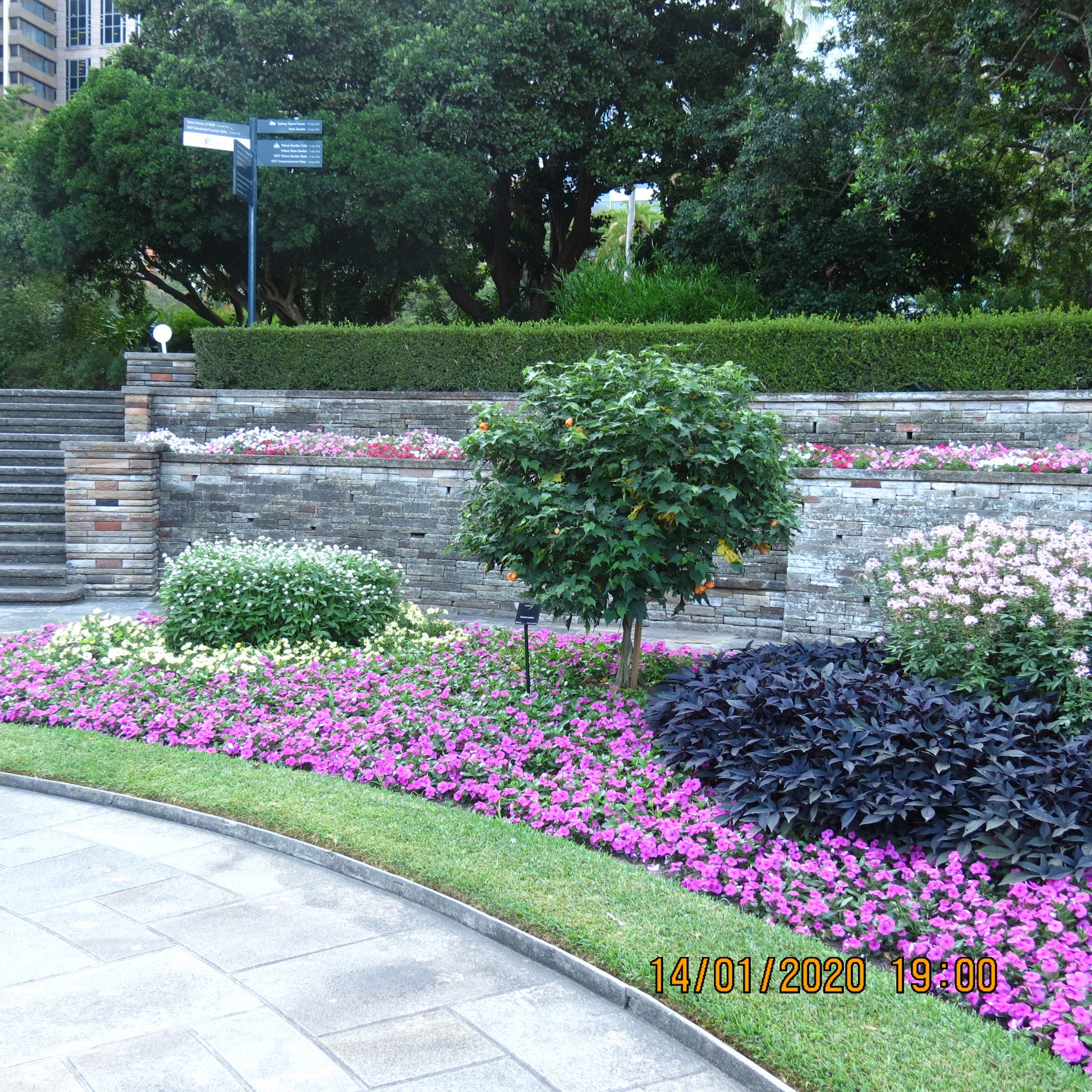
This post’s large photograph set records lawns, harbour edges, monuments and seasonal planting in the Garden and adjoining Domain — use the intro as the historical frame rather than a caption for every frame.


Government House – ‘The Peoples Domain’

If you walk the Royal Botanic Garden toward Farm Cove, the castellated sandstone pile above the water is Government House, Sydney — still the official Sydney residence and office of the Governor of New South Wales. It sits in the historic Governor’s Domain: the “People’s Domain” of the blog title is that public parkland inheritance, not a claim that the house itself is a free-for-all picnic hall.

It replaced the first Government House at Bridge and Phillip Streets (Museum of Sydney site), worn out by the 1830s after serving as the colony’s political and social centre since 1788–89. British royal architect Edward Blore designed the new house in a castellated Gothic / Tudor-Gothic style. Construction began in 1837 under Colonial Architect Mortimer Lewis and Colonel George Barney of the Royal Engineers, using colonial sandstone, cedar and marble. A Queen’s Birthday ball was held in the unfinished house in 1843; Governor Sir George Gipps and Lady Gipps took up residence in 1845. Later works include a porte-cochère / front portico associated with James Barnet (1870s) and further alterations under Government Architect Walter Liberty Vernon around 1900–01.

The gardens and harbour setting tie the house to the Conservatorium (the former Macquarie-era Governor’s Stables) and the wider Domain / Botanic Gardens landscape. Do not confuse it with Old Government House at Parramatta — different building, different post, different century of everyday vice-regal life.


Farm Cove 


Tank Stream - Macquarie Street To Circular Quay


Tank Stream - Macquarie Street To Circular Quay 


In October 1788, a timber bridge was built to span the Tank stream At Is Spot, which was On The Head Of Sydney Cove. In 1803 1804 the structure was replaced by Stonebridge


When GovernorPhilip inspected Port Jackson in January 1788 he was induced to start a settlement there because of the rivulets at The Head Of Sydney Cove  Where Wild celery parsley and spinach flourished healthy vegetables for scurvy patients. A swampy spring, 1 mile away, in the centre of today's Hyde Park, was  the birthplace of this rivulet which fell 100 feet As it wandered Eastward over sandstone Rocks To King Street, And Another 1 At Kings St another at Spring Street, it flowed to Bridge Street, the head of the tidal estuary


To save the life stream, Governor Philip in March 1788 wisely decreed that the run of water which supplies the settlement was observed to be only a drain from the swamp. To protect it from the sun, the governor forbids the cutting down of any tree within 50 feet of the run, then which there has not been a fine are found in any one of the coves of the harbour.


February 1791 surveyor Alt deepened the stream near Bridge Street, and in April 1792 the governor had ditches dug flanking The Rivulet. A Paling fence was erected to keep out stock andcherish the shrubs growing on its banks. The rivulet was christened the tank stream in May 1792 after his Excellency had convicts hew a tank from sandstone which has Held 8000 gallons of water. Bridge St where the tank stream debouched into the tidal waters of Sydney Code, became the main link between the Eastern the west Sydney. Collins in October 1788 Stated that a gang Of convicts were employed in rolling timber together to form a bridge over the stream at the head of the Cove. Soon footbridge spanned the


Phillip Street Police Station – Corner Phillip St & Albert St – Green Plaque – Historical Marker 93

Same sandstone pile as Green Plaque 94, different door. Racing for a Circular Quay ferry you might miss both. Royal Australian Historical Society Green Plaque 93 marks Phillip Street Police Station B inside the justice complex at the corner of Phillip and Albert Streets — Albert, not Alfred — Circular Quay East.

The precinct started as Water Police facilities: Edmund Blacket’s Water Police Court (opened 1856), a police station beside it (opened 1858; later known as Phillip Street Police Station), and James Barnet’s additional court of 1886. The Water Police occupied the station until new headquarters at Dawes Point in 1913; the Phillip Street buildings stayed in police and court use before adaptation as the Justice and Police Museum (Museums of History NSW).

Plaque 93 commemorates Police Station B specifically — distinct from Green Plaque 94 (Police Court C / the 1886 Barnet court). The surviving precinct is listed on the NSW State Heritage Register as the Justice and Police Museum.

Phillip Street Police Station - Corner Phillip St & Albert St - Sydney - Historical Marker 93


Phillip Street Police Station and Green Plaque 93, at the corner of Phillip and Albert Streets.

Sydney Police Court – Historical Marker Number 94

Sydney Police Court - Corner Of Phillip & Alfred Streets - Sydney 


Among the Royal Australian Historical Society’s Sydney Green Plaques, No. 94 is easy to walk past if you are racing for a ferry — and worth slowing down for. It marks “Police Court C,” the Police Court on Phillip Street that opened on 7 January 1886, on the Circular Quay side of the city between the older Water Police Court and the Water Police Station.

The courthouse was built of Pyrmont freestone to plans from the Colonial Architect’s office (James Barnet held that post) and was meant mainly as a summons and small-debts court, taking pressure off the older building next door. At the opening, Whittingdale Johnson — the first magistrate to sit there — remarked that the new rooms would let magistrates who had “suffered through the foul atmosphere of the old court” regain their health. Ventilation and windows got particular attention. The court closed in 1979. The building survives today as part of the Justice & Police Museum complex managed by Museums of History NSW, on Phillip Street near Circular Quay.

The green plaque belongs to the Bicentennial series (1984–1988) — 101 markers recalling vanished or layered city sites. Do not confuse this Phillip Street Police Court with the earlier Central Police Court / Market House site on George Street (now under the Queen Victoria Building), which has its own green plaques.

Image: RAHS / site marker for Police Court C / Phillip Street Police Court.


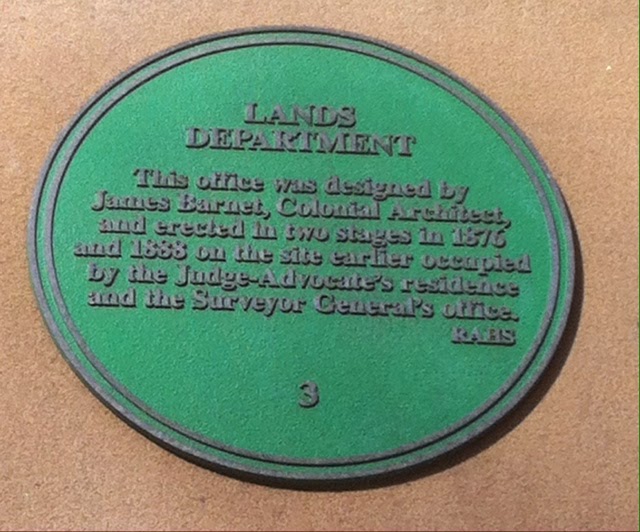
The Lands Department - Sydney Historical Marker Number 3 - Bridge Street - Sydney


The Lands Department - Bridge Street - Sydney - Sydney Historical Marker 3 - 


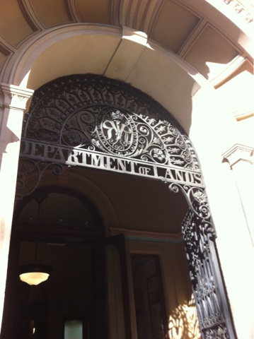
The history of the Lands Department building on Bridge Street in Sydney is closely tied to the development of New South Wales and its colonial administration. The Lands Department, responsible for managing and regulating land ownership, allocation, and transactions, played a crucial role in the expansion and development of the colony. Here's a brief overview of the history of the Lands Department building:

Early History and Development: The origins of the Lands Department can be traced back to the early days of European settlement in Australia. As the colony of New South Wales began to establish itself, the need for a structured system of land management became evident. In 1788, Governor Arthur Phillip arrived with instructions to allocate land to settlers and convicts, which marked the beginning of land ownership in the colony.

Establishment of the Lands Department: The formal establishment of the Lands Department took place in 1833, when the Colonial Secretary's Office was reorganized to create separate departments, including the Surveyor-General's Office and the Registrar-General's Office. These offices were responsible for managing land surveys, land sales, and land title registration.

Construction of the Lands Department Building: The Lands Department Building, located at 22-33 Bridge Street in Sydney, was constructed to accommodate the growing administrative needs of the Lands Department. The original section of the building, known as the "Registry Building," was completed in 1877. The building was designed in the Renaissance Revival architectural style and featured ornate detailing, including elaborate facades and decorative elements.

Role in Land Management: The Lands Department played a pivotal role in managing the allocation and ownership of land in New South Wales. This included conducting surveys, maintaining land records, managing land sales, and overseeing the process of granting land titles. The department's activities were essential for facilitating settlement, supporting agriculture, and driving economic development in the colony.

Modernization and Changes: Over the years, the Lands Department underwent modernization and changes in its organizational structure. Advances in technology, such as computerization and digital record-keeping, transformed the way land transactions and records were managed. The department's responsibilities expanded to include environmental and heritage management.

Heritage Significance: The Lands Department building on Bridge Street is of historical and architectural significance. Its ornate design and prominent location reflect the importance of the department's role in the development of New South Wales. The building is a testament to the colonial administration's efforts to establish an organized system of land management.

As of my last update in September 2021, the Lands Department building was repurposed for different uses, including housing various government offices. For the most up-to-date information about the building's current status and any developments that have occurred after 2021, I recommend checking with local historical sources, government websites, or relevant authorities in New South Wales.